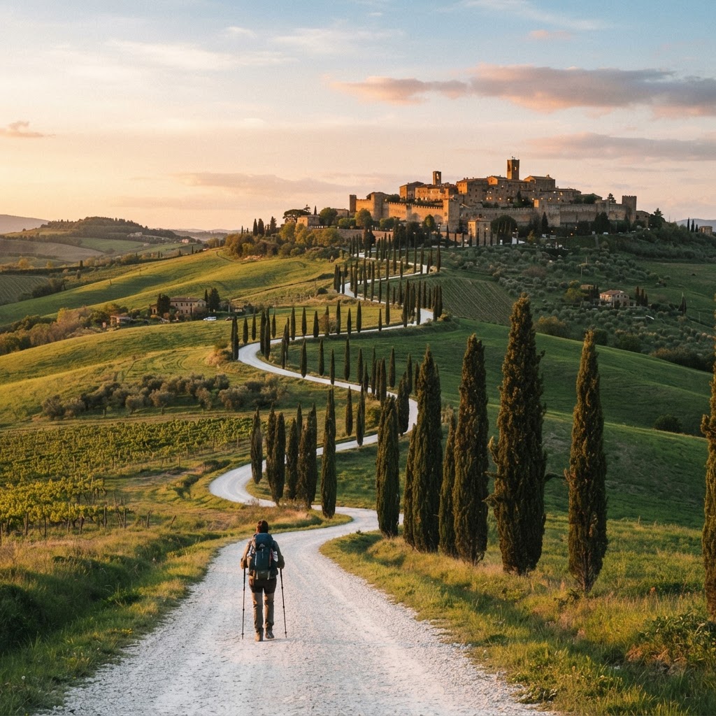
Crossing the Great St Bernard Pass on the Via Francigena
The Great St Bernard Pass (Colle del Gran San Bernardo, 2,469 m) is the Via Francigena's highest point and its most demanding single obstacle — the climb from Martigny in Switzerland up to the hospice and down into Aosta in Italy. For a thousand years pilgrims have crossed it; here is how to do it safely.
When the pass is open
The pass road is usually open from June to September only. Before June and after September it's snow-covered and the road closes for the winter. If you're walking outside the window:
- Use the Great St Bernard tunnel (road tunnel, ~€20 single for a car; foot passengers use the shuttle bus) to get from Martigny to Aosta, then resume walking from Aosta.
- Or take a bus transfer Martigny → Aosta and resume the route from there.
Don't attempt the pass on foot outside summer — even in June, snow can linger above 2,000 m. Always check the forecast before committing to the climb.
The climb
From Martigny (~475 m) the route climbs steadily through Sembrancher and Bourg-Saint-Pierre (~1,623 m), the last village before the pass. The final stretch to the hospice is the steepest. Allow a full day, carry warm and waterproof layers, and start early. The total climb is roughly 2,000 m of elevation — a serious day even for a fit walker.
The hospice
At the summit sits the Great St Bernard Hospice, founded in the 11th century by Augustine canons to shelter pilgrims crossing the Alps. It's still there — pilgrims can stay overnight (book ahead, limited space) and see the famous St Bernard dogs (now bred in Martigny since the pass became too busy in winter). The hospice is one of the great living institutions of European pilgrimage.
The descent into Aosta
The descent to Aosta (~583 m) is long and hard on the knees — about 1,900 m down over ~25 km. Take it slowly, tape any twinge, and consider breaking it with a night at Bourg-Saint-Pierre on the way up or a short descent day. Many knee injuries happen on the descent, not the climb.
What to carry
Even in July, carry: a warm mid-layer, a waterproof jacket, gloves, a hat, and an emergency layer. The pass can be 5–10°C with wind; valley towns can be 30°C the same day. Pack the layers in your pack-top so you can put them on without unpacking.
Planning
Use the planner to map Martigny → Aosta, and if the pass is closed, swap the stage for the tunnel/bus and resume from Aosta. Build in a weather-day buffer — if the forecast is bad, wait a day in Martigny or Bourg-Saint-Pierre. The pass is the route's single most memorable day; treat it with respect and it will be the highlight of your pilgrimage.
Explore the route
Via Francigena
Plan your Via Francigena
The route's highest point: the climb from Martigny to the Great St Bernard, the hospice, the tunnel alternative, season limits and how to prepare.