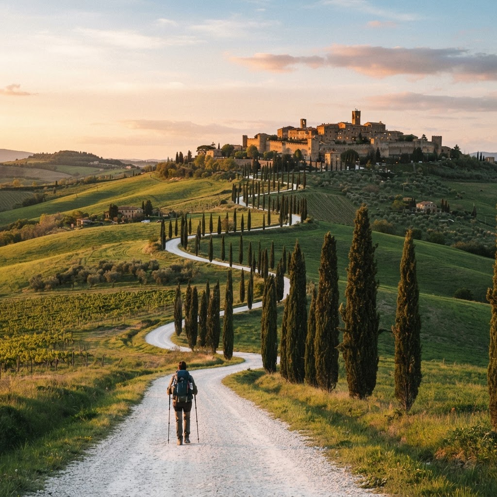
Navigating the Via Francigena — Red-and-White Waymarks & Maps
The Via Francigena is waymarked, but thinner than the Camino de Santiago — you cannot rely on yellow arrows alone. Here is how to navigate it confidently across all four countries, what to carry, and what to do when the waymarks thin out.
The waymarks
The route is marked with red-and-white markers and the pilgrim symbol (a stylised traveller/pilgrim figure). You'll see them on trees, walls, signposts and milestones. The marking is best in Italy (especially Tuscany and Lazio), improving in France, and thinnest in the Alps and some remote French and Swiss stretches. Unlike the Camino's dense yellow arrows, expect gaps — sometimes several kilometres without a marker.
What to carry
- An offline map app. The official Via Francigena app (AEVF), Wise Pilgrim, or OsmAnd with the route GPX loaded. See the Apps & Maps guide.
- The route GPX track. Download it before you leave home; you'll follow it on the app even when there's no signal.
- A paper guidebook or map as backup. Phones die, get wet, or lose signal in Alpine valleys. A paper map of the section you're walking is cheap insurance.
- A power bank (10,000 mAh) — navigation drains battery.
When you lose the way
If the waymarks disappear:
- Check your app first. The GPX track is the source of truth — if you're on the line, you're on the route, even without a marker.
- Retrace to the last marker if you've wandered off the line; don't push on hoping to re-find it.
- Ask a local. In French: "Où passe la Via Francigena ?" In Italian: "Dov'è la Via Francigena ?" Locals along the route generally know it — especially in Italy.
- Use the town as a guide. The route links towns in sequence (see the stages breakdown); if you can see the next town, head for it.
Common navigation traps
- Italian towns: the route often enters and exits through old lanes not obvious on a car map. The GPX is essential in towns.
- The Alps and Apennines: fog and low cloud can hide waymarks. Carry a compass if you're uncomfortable off-trail.
- Canal and river paths in France: the route sometimes shares paths with cycle routes — follow the pilgrim symbol, not the bike signs.
- Road sections: on long tarmac stretches the waymarks can be sparse; trust the GPX.
Planning
Use the planner to see the stage-by-stage route and distances before you walk, then follow the GPX on the trail. With an offline map and the GPX loaded, you'll never be truly lost — even when the waymarks thin out.
Explore the Via Francigena
Via Francigena
Plan your Via Francigena
How to navigate the Via Francigena: the red-and-white waymarks, the pilgrim symbol, offline maps, GPX tracks and what to do when the waymarks thin out.